West Valley Residential Community
Welcome to West Hills, a quiet residential community in the far western San Fernando Valley, framed by the Simi Hills and Upper Las Virgenes Canyon.
West Hills is a residential neighborhood in the far western San Fernando Valley, within the city of Los Angeles, California. Its recorded history begins in 1912, when it was founded as the town of Owensmouth along the newly extended Pacific Electric rail line; the name referred to the mouth of the Owens Valley aqueduct that brought water to the growing city. The community was later absorbed into Canoga Park before emerging in the late twentieth century as the separate neighborhood now known as West Hills. Today West Hills covers about eight square miles of largely single-family subdivisions, shopping centers, and neighborhood parks, bordered by Woodland Hills to the south, Canoga Park to the east, Chatsworth to the north, and the Simi Hills to the west. It is a fully built-out, low-density community whose residents range from young families to long-time homeowners. The neighborhood's western edge is its most distinctive feature: the land rises into the Simi Hills, where the Upper Las Virgenes Canyon Open Space Preserve offers miles of hiking, mountain biking, and equestrian trails at the edge of the city. Bell Creek and Dayton Creek, which rise in the nearby hills, run through the area and support wildlife corridors through the Valley. West Hills is served by the Los Angeles Unified School District, with El Camino Real Charter High School, founded in 1969, serving portions of West Hills and neighboring Woodland Hills. The 101 Freeway along the northern boundary and Victory Boulevard through the center provide the main commuting routes, while the Metro Orange Line busway at nearby Canoga and De Soto stations links the area to the wider transit network. Its location at the Valley's western end puts residents within reach of both the San Fernando Valley's commercial corridors and the open spaces of the Santa Monica Mountains and Simi Hills.
West Hills is a neighborhood within the city of Los Angeles, in the far western San Fernando Valley, and is not a separate incorporated city. It is represented through the Los Angeles City Council.
West Hills was founded in 1912 as the town of Owensmouth, named for the mouth of the Owens Valley aqueduct. It was later absorbed into Canoga Park before becoming the separate community now known as West Hills.
West Hills is served by the Los Angeles Unified School District. El Camino Real Charter High School, founded in 1969, serves portions of West Hills, neighboring Woodland Hills, and the broader western Valley.
The Upper Las Virgenes Canyon Open Space Preserve, at the western edge of the neighborhood, offers miles of hiking, mountain biking, and equestrian trails in the Simi Hills and serves as a popular regional trailhead.
West Hills covers about 8.5 square miles and is bordered by Woodland Hills to the south, Canoga Park to the east, Chatsworth to the north, and the Simi Hills to the west.
City Guide
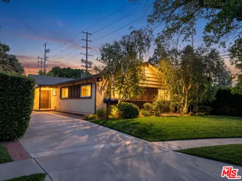
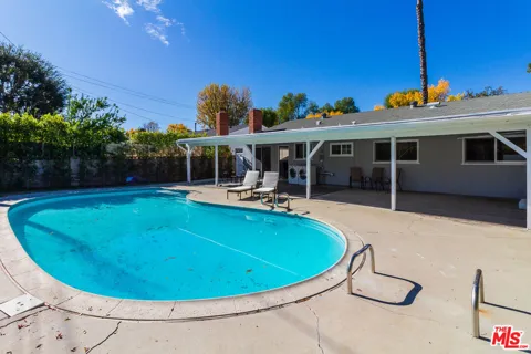
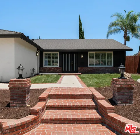
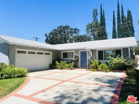
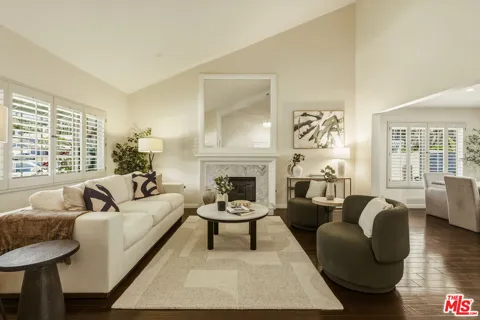
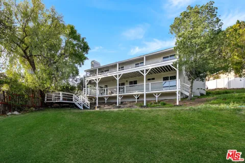
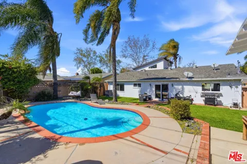
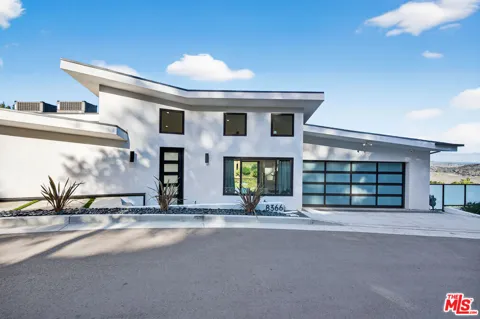
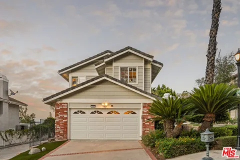
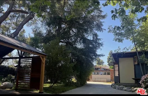
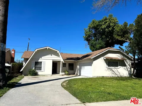
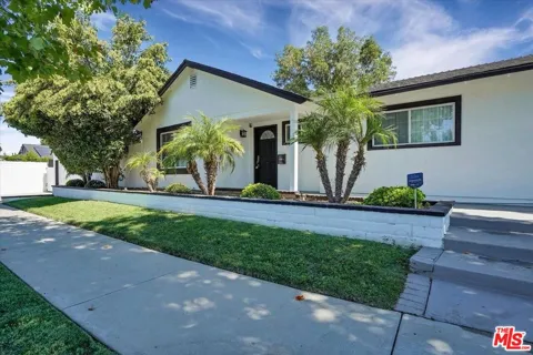
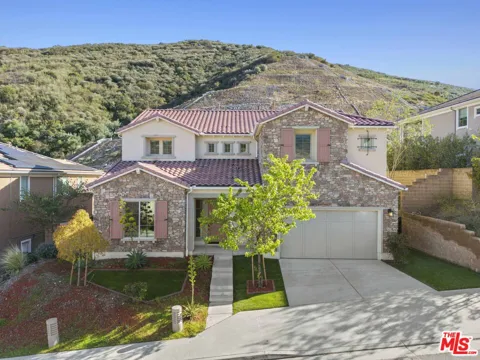
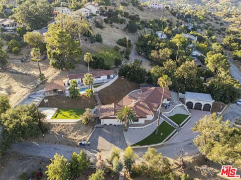
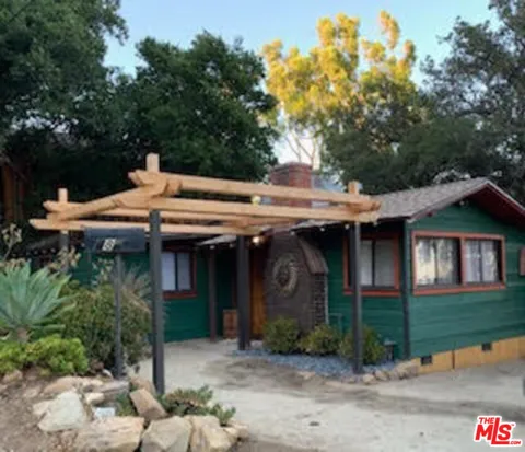
West Hills is dominated by single-family homes built largely during the Valley's postwar and late-twentieth-century expansion, with ranch and contemporary styles on standard suburban lots. The western foothills near Valley Circle Boulevard contain larger, more estate-like properties with hillside and canyon settings, while the flatter eastern sections hold more traditional tract homes. There are also a handful of newer gated communities. The housing stock is established and low-density, oriented toward families and long-term owners.
West Hills climbs from the flat Valley floor near Victory Boulevard into the foothills of the Simi Hills along Valley Circle Boulevard. The eastern side blends into Canoga Park's street grid, while the western and southwestern edges become more rolling and canyon-adjacent, bordering the Bell Canyon community in Ventura County. Woodland Hills lies to the south and Chatsworth to the north. The neighborhood's subdivisions are largely residential, with pockets of larger hillside homes near the open-space boundary.
West Hills offers a calm, family-oriented suburban lifestyle. Its neighborhoods are largely single-family and tree-lined, with shopping concentrated along Victory Boulevard, Fallbrook Avenue, and the nearby Westfield Topanga area. The pace is quieter than the central Valley, with many long-time residents and a community feel built around schools and parks. Its position at the Valley's western edge means open space and trails are minutes away, while the commercial corridors of Woodland Hills and Canoga Park remain close.
West Hills is served by the Los Angeles Unified School District. El Camino Real Charter High School, founded in 1969 on Valley Circle Boulevard, serves portions of West Hills and Woodland Hills and operates as an independent charter with a college-like campus. The neighborhood also has several LAUSD elementary schools, and families have access to a range of private and charter options across the western Valley.
The 101 Freeway (Ventura Freeway) runs along West Hills' northern boundary, providing the primary route across the Valley and toward downtown Los Angeles, roughly 30 minutes away outside peak traffic. Victory Boulevard, Valley Circle Boulevard, and Fallbrook Avenue are the main surface corridors. The Metro Orange Line busway stops at nearby Canoga and De Soto stations, offering a dedicated transit link to the rest of the Valley.
The Upper Las Virgenes Canyon Open Space Preserve is West Hills' outdoor centerpiece, with trailheads off Victory Boulevard opening onto a network of hiking, mountain biking, and equestrian paths across the former Ahmanson Ranch. Bell Creek and its surrounding open areas provide green corridors for walking and wildlife. The neighborhood also has local parks, sports fields, and playgrounds, and sits near the larger recreational offerings of the Santa Monica Mountains and nearby Chatsworth.
MARKET SNAPSHOT
How homes have been selling here over the last 90 days.
Market data reflects closed sales over the last 90 days and is provided for informational purposes.
BROWSE BY ZIP
Browse listings by postal code in this area.