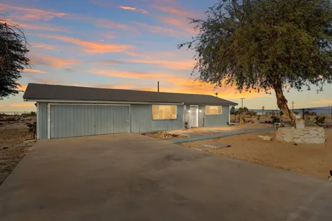
Coachella Valley Desert Farmland
An unincorporated desert community in the Coachella Valley, defined by date palms and table grapes, the Jacqueline Cochran Regional Airport, and its place below sea level near the Salton Sea.
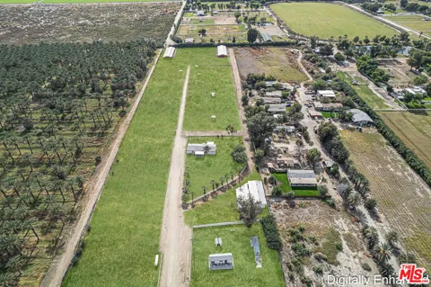
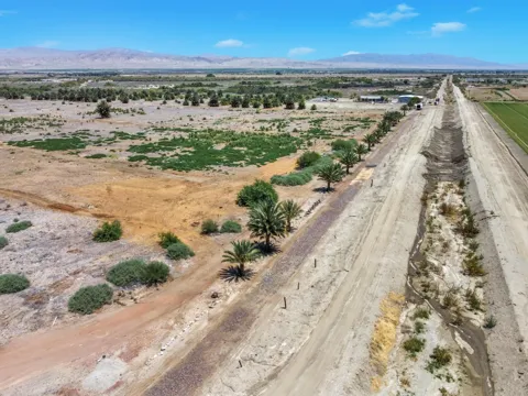
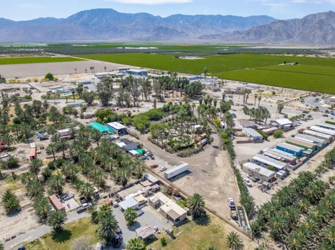
Thermal is an unincorporated community and census-designated place in Riverside County, California, occupying a stretch of the lower Coachella Valley about twenty-five miles southeast of Palm Springs and roughly nine miles north of the Salton Sea. The community lies about 138 feet below sea level, in the broad, hot basin that also holds the Salton Sea and the Imperial Valley's farmlands. The community dates to about 1910, when it was established as a railroad camp for the Southern Pacific. Rail access helped open the eastern Coachella Valley to agriculture, and Thermal grew around that industry. Date palms, table grapes, citrus, and other desert crops remain the defining features of the landscape, supported by irrigation from the Colorado River and the region's year-round growing season. Agriculture has also made Thermal home to a substantial farmworker population and a network of related businesses. Thermal's other defining institution is the Jacqueline Cochran Regional Airport, a county-owned public-use airfield named in 2004 for the pioneering aviator who lived in the region. The airport serves general aviation, flight training, and some commercial activity, and it positions Thermal as a secondary aviation gateway to the Desert Resorts region. The community itself is small — about 2,700 residents at the 2020 census — and predominantly rural, with no incorporated government of its own. Residents rely on nearby Coachella, Indio, and Mecca for schools, shopping, and services, and children attend the Coachella Valley Unified School District. Thermal offers a quiet, agricultural, deeply desert way of life, suited to those who work the valley's farms or aviation businesses and who value space and solitude over resort-town bustle.
Thermal is an unincorporated community and census-designated place in Riverside County, California. It lies in the Coachella Valley, about twenty-five miles southeast of Palm Springs and roughly nine and a half miles north of the Salton Sea.
Thermal is known for its desert agriculture, including date palms and table grapes, and for the Jacqueline Cochran Regional Airport, a county-owned public airfield named for the pioneering aviator. The community also sits below sea level, near the Salton Sea.
Thermal is not an incorporated city. It is an unincorporated community and census-designated place (CDP), meaning it is governed directly by Riverside County rather than by its own municipal government.
Thermal is served by the Coachella Valley Unified School District, which operates schools across the eastern Coachella Valley. Students in the area attend campuses such as Desert Mirage High School, and the district has developed aviation-focused career programs for local youth.
Thermal sits about twenty-five miles southeast of Palm Springs and roughly nine and a half miles north of the Salton Sea, in the lower Coachella Valley. The community's elevation is about 138 feet below sea level.
Thermal is close to the Salton Sea and the desert landscapes of the Coachella Valley, offering a rural, agricultural setting. The Jacqueline Cochran Regional Airport supports general aviation, and the resorts and amenities of the greater Palm Springs area are within a short drive.
City Guide
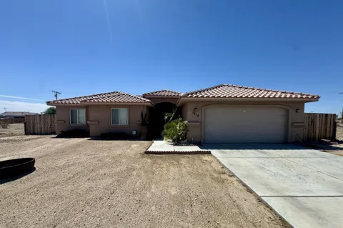
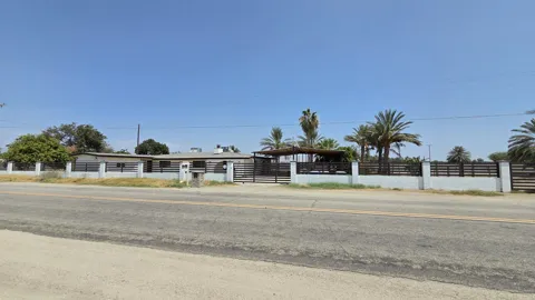
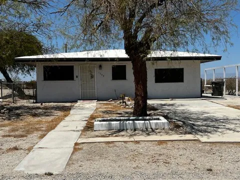
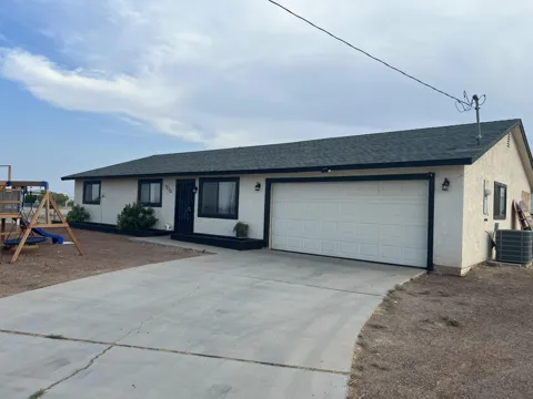
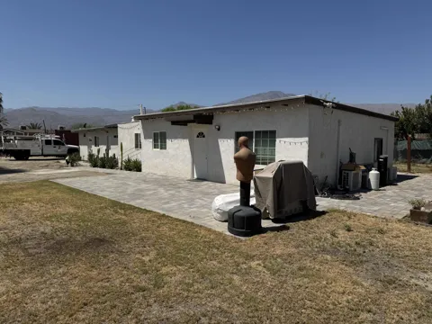
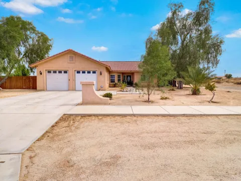
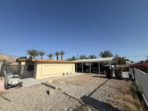
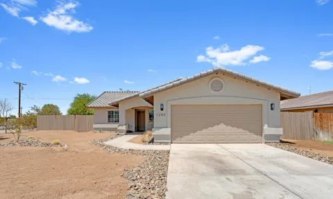
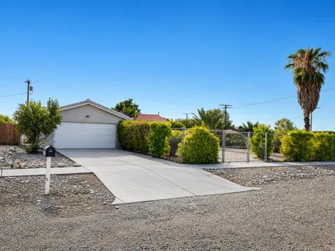
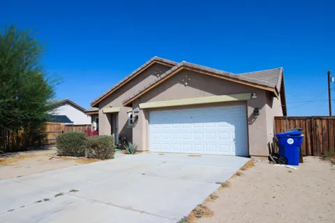
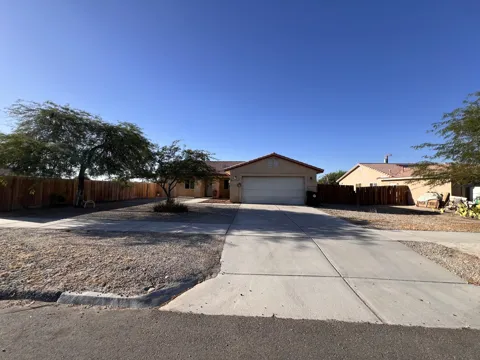
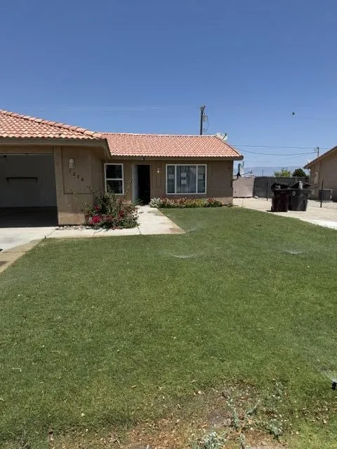
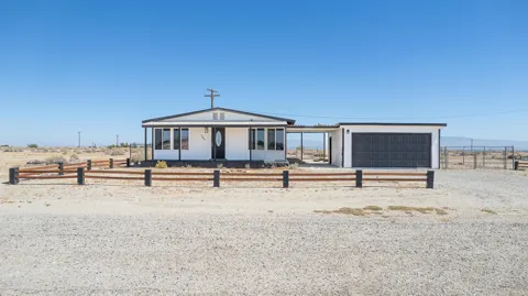
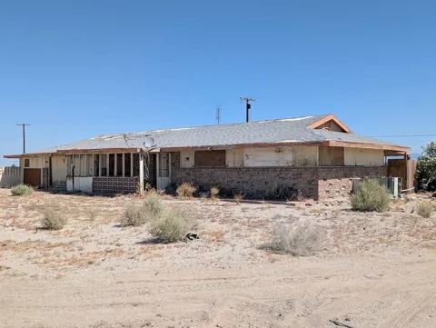
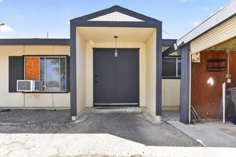
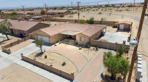
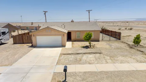
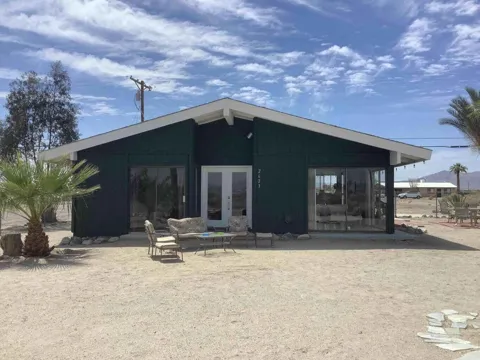
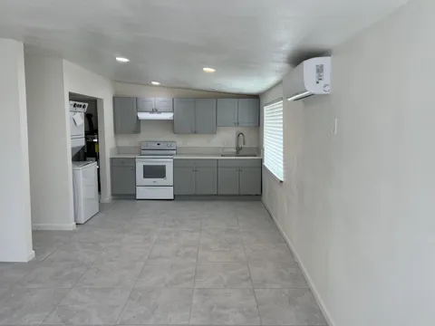
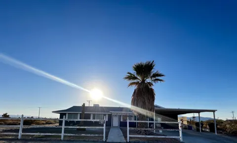
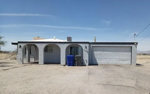
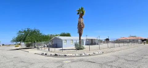
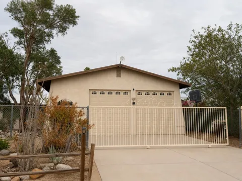
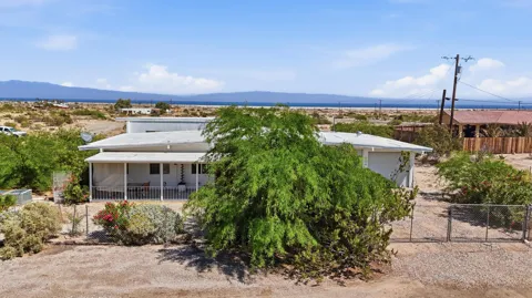
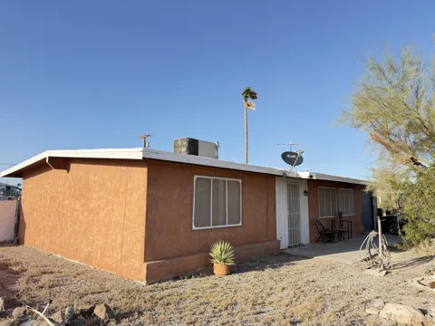
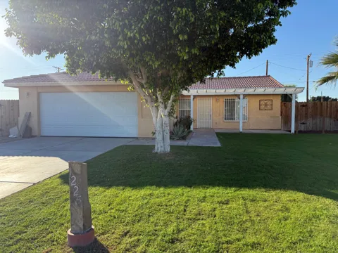
Thermal's housing stock is limited and primarily serves the area's agricultural workforce and rural residents. Homes are typically modest single-family dwellings, older ranch-style houses, and manufactured or mobile homes, often set on larger desert parcels or adjacent to farmland. The community is unincorporated and sparsely developed, so there is little of the tract-home or resort development found in other Coachella Valley cities. Housing is generally more affordable than in nearby Palm Springs or La Quinta, reflecting the area's rural character and distance from resort amenities. Buyers interested in Thermal tend to be drawn by low-density, agricultural living rather than planned communities or new construction.
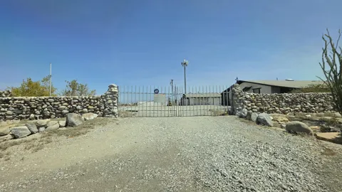
Thermal is not organized into conventional neighborhoods. As an unincorporated community, it is a scattered collection of homes, farm properties, and agricultural facilities strung along the State Route 86 corridor and the surrounding grid of rural roads. The community has no central downtown; commercial and civic services are found in nearby Coachella, Indio, and Mecca. The landscape is dominated by date palm groves, vineyards, and open desert, with small residential clusters near the airport and the railroad corridor that gave the community its start. This rural, spread-out pattern gives Thermal a distinctly agricultural character, closer to a farming settlement than to the planned desert cities that surround it.
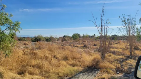
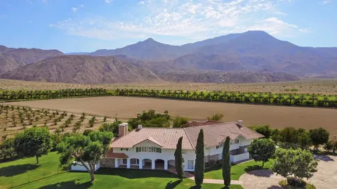
Life in Thermal is defined by the desert and the land. The community sits below sea level in one of California's hottest regions, and its rhythm follows the agricultural calendar — date harvests, grape seasons, and the work of the Coachella Valley's farms. Thermal has long had a significant farmworker population, and the community is modest, rural, and spread out, with services centered along State Route 86 and in nearby Coachella and Indio. The desert landscape is starkly beautiful, framed by the Santa Rosa Mountains to the west and the broad expanse of the Salton Sea to the south. Residents trade the polish of the resort cities for space, quiet, and a close connection to the valley's agricultural economy, while remaining within easy reach of Palm Springs' amenities.
Thermal is served by the Coachella Valley Unified School District, which operates schools across the eastern Coachella Valley. Students in the Thermal area attend nearby campuses including Desert Mirage High School, and the district has partnered with local aviation businesses to offer career-oriented programs for students interested in aerospace and related fields. The district serves a large, predominantly Latino student population and is a central institution for the valley's agricultural communities. Higher education options are available at College of the Desert in nearby Palm Desert and through other institutions across the Coachella Valley.
Thermal is positioned along California State Route 86, the main north-south route through the eastern Coachella Valley, about six miles south of Interstate 10, which connects the valley to the Los Angeles basin and the Arizona border. The Jacqueline Cochran Regional Airport provides general aviation access and serves as the community's aviation anchor, while commercial airline service is available at Palm Springs International Airport, roughly twenty-five miles northwest. Freight rail, a legacy of the community's Southern Pacific origins, still runs through the area. As in much of the rural desert, personal vehicles are essential, and most services require a drive to neighboring Coachella, Indio, or Mecca.
Recreation in Thermal is tied to the open desert and the Salton Sea. The sea, about nine miles to the south, is a vast inland body of water that draws birdwatchers and visitors to its unusual, shrinking shoreline, while the surrounding desert offers off-road riding, hiking, and stargazing. The Coachella Valley's resort amenities — golf, dining, shopping, and events in Palm Springs, Indio, and La Quinta — are a short drive away, and the region's famous music festivals take place in neighboring Indio. The Santa Rosa and San Jacinto Mountains rise to the west, offering trails and scenic drives. It is a recreation landscape of wide-open space and desert solitude rather than organized urban parks.

MARKET SNAPSHOT
How homes have been selling here over the last 90 days.
Market data reflects closed sales over the last 90 days and is provided for informational purposes.
BROWSE BY ZIP
Browse listings by postal code in this area.